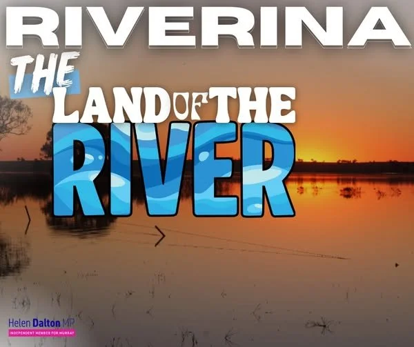
THE LAND OF THE RIVER
The Riverina literally means the land of rivers.
This country was built on water moving across floodplains — spreading out in wet years, soaking in, then pulling back in dry ones. That stop-start pattern is what shaped the landscape. It’s how red gums survived. It’s how wetlands functioned. It’s how the river stayed healthy.
Today, that natural rhythm has been replaced with something very different.
Under the Murray–Darling Basin Plan, water that once fed Riverina floodplains is stripped out and pushed downstream. It’s shepherded past productive country and sent south to prop up the so-called Lower Lakes — a blocked estuary being held at an artificial level year-round.
Those lakes were never meant to be permanent freshwater. Holding them that way demands a constant flow of water, taken from upstream systems that evolved around intermittent flooding, not continual inundation.
Here’s the part that rarely gets said plainly: growing food in the Riverina is environmental watering.
Working farms create return flows. They recharge floodplains and wetlands. They sustain red gums and support bird breeding between natural floods. This is water doing work where it actually belongs.
When that water is removed, the damage is immediate. Floodplains dry out. Red gums die standing. Carp thrive. Blue-green algae and blackwater events become more common.
At the same time, forcing continual water into floodplains downstream causes its own harm — waterlogging soils, stressing vegetation, and breaking natural cycles that rely on wet and dry periods.
You don’t fix a river by starving one part of it to overfill another.
The Basin Plan talks about reconnection, but on the ground in the Riverina, the reality is extraction — propping up a mismanaged, blocked estuary while hollowing out the land of rivers upstream.